-
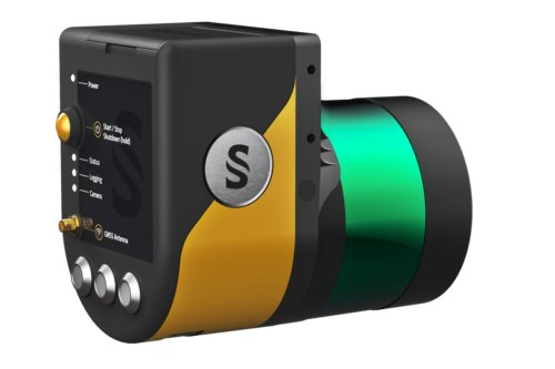
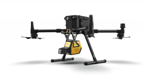
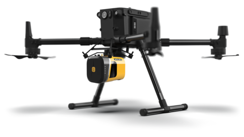 The new YellowScan Mapper+ can be mounted on a wide range of UAV platforms due to its low weight. The YellowScan Mapper+ integrates Livox AVIA laser scanner together with high performance GNSS-aided inertial navigation system into a lightweight, standalone and easy-to-use lidar system. Proven capabilities and stable results over a wide range of applications.
 -
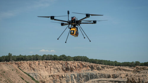 The YellowScan Voyager is a powerful solution for both manned and unmanned aircrafts. The laser scanner’s specs can be personalized to fit your different project and platform needs. With its laser scanner’s wide field of view, the entirety of the points are oriented towards the ground, meaning no loss of points. This also means 1.5 million points per second will be usable, which would not be the case with a 360° scanner.
 -
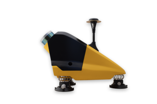 Designed to be easily swapped in minutes from vehicles to UAV. The YellowScan Fly&Drive is a versatile land vehicle-mounted or UAV-mounted mobile mapping system which combines high resolution laser scanning and precise positioning to collect geo-referenced point clouds for a wide range of applications.
 -
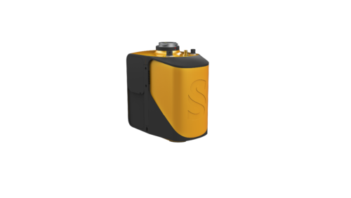 The new YellowScan Mapper is our Livox-based UAV LiDAR system. The YellowScan Mapper UAV LiDAR system is equipped with a high-performance Livox Horizon laser scanner from Livox, a DJI-backed company. With a great point density, this LiDAR sensor allows our LiDAR system to fly easily at 70m AGL with a 120m swath. We recommend a balanced 10 m/s flight speed to benefit from the Mapper’s point density while being productive. For example, flying at 70m AGL, 10 m/s, with 20% sidelap, you will be able to map 10 ha in 3 minutes. The YellowScan Mapper is the right LiDAR tool to start with. Your data collection will be fast, accurate and cost-effective.

