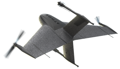
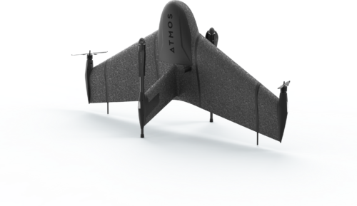
Marlyn Cobalt Plan with Precision.
See more, fly more, and do more with greater precision than any other VTOL drone.
Fly in the strongest winds, up to 45 km/h
With the Marlyn you can comfortably take off, inspect and land in winds of up to 45 km/h, more than any other inspection drone. Try our Wind Calculator to see how many more days you can survey with Marlyn.
Operate from any 2x2m area
Take off like a helicopter and fly like a plane. With Marlyn you can operate from anywhere and cover up to 320Ha (790 Acres) per flight. You no longer have to search for large clear areas to land.
Data capture with centimeter precision
To keep your customers satisfied, the best survey cameras from Sony and Micasense are combined with our top-of-the-line PPK from Topcon and a market-leading autopilot to give you accuracies down to 1cm.


