YELLOWSCAN EXPLORER
YELLOWSCAN EXPLORER
YELLOWSCAN Vx20
YELLOWSCAN Vx20
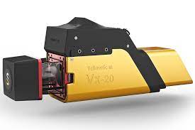
YELLOWSCAN Vx15
YELLOWSCAN Vx15
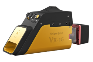
YELLOWSCAN LIVESTATION
YELLOWSCAN LIVESTATION
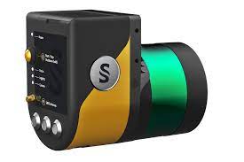
YELLOWSCAN CLOUDSTATION
YELLOWSCAN CLOUDSTATION
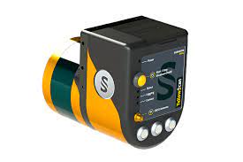
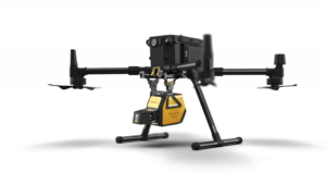
The YellowScan Explorer is the first LiDAR that can be mounted on a manned light aircraft or helicopter and switched to a UAV platform such as the DJI M300. This versatility allows the end user to tackle a wide range of projects with the proven ease of use of YellowScan LiDAR UAV solutions.
YellowScan Vx20 is the most accurate fully integrated system in the YellowScan product range.
It can fly up to 100 m while maintaining accuracy throughout the entire point cloud.
In-house technology
Applanix – RIEGL
YellowScan Vx15 is the lightest system that integrates the Riegl Mini-VUX.
Ideal for high precision surveys such as civil engineering.
Together with the DJI M300, it allows more than 25 minutes of flight time maximizing the throughput of your inspection.
YellowScan Surveyor Ultra provides the highest point density in the YellowScan product range.
It combines long range, high density and light weight, making it ideal for high speed unmanned aerial vehicles such as VTOL or helicopter drones.
Internal technology
Applanix – Velodyne LiDAR
YellowScan Surveyor is our lightest system at 1.6 kg including battery.
Its low weight, accuracy and precision make it the most versatile LiDAR.
Ideal for urban surveys subject to strict flight regulations requiring extra light weight payloads.
In-house technology
Applanix – Velodyne LiDAR
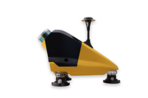
YELLOWSCAN FLY & DRIVE
The YellowScan Fly & Drive LiDAR solution is a versatile mobile mapping system mounted on ground vehicles or UAVs.
It combines high-resolution laser scanning and precise positioning to collect georeferenced point clouds for a wide range of applications.
YELLOWSCAN MAPPER
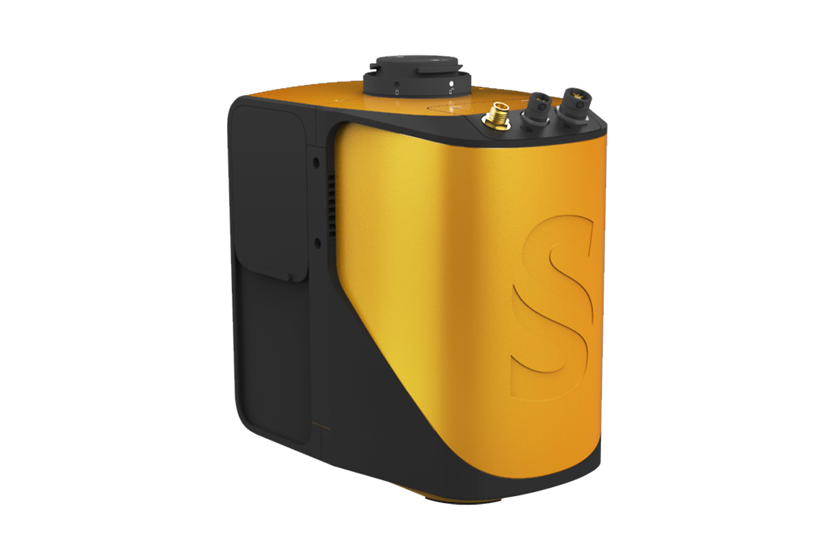
YellowScan Mapper is the next generation of integrated lidar solutions.
Its low weight, mid-range capability, superior end-point density, advanced precision and accuracy make it the best value for money in our portfolio.
YELLOWSCAN MAPPER+
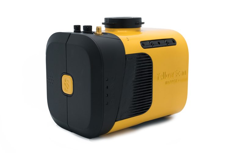
The YellowScan Mapper+ integrates the Livox AVIA laser scanner together with a high-performance GNSS-assisted inertial navigation system into a lightweight, stand-alone, easy-to-use lidar system. Proven capabilities and stable results in a wide range of applications.
YELLOWSCAN LIVESTATION
YellowScan LiveStation allows you to monitor in real time the validity and quality of the data collected by YellowScan LiDAR systems, to ensure that the survey runs smoothly.
Essential for critical or long duration LiDAR flights.
YELLOWSCAN CLOUDSTATION
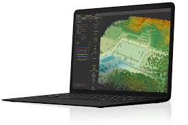
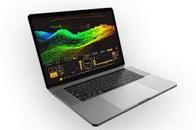
YellowScan CloudStation is the new proprietary software developed by YellowScan to generate and visualize point clouds.
It is presented as a fully integrated solution to enable a better and simplified customer experience.
