PRODUCTS
WE PROVIDE THE BEST SOLUTIONS FOR YOUR PROJECTS

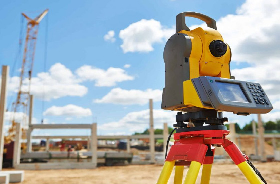
Measurement solutions
This product line consists of a series of both optical and electronic equipment that surveyors depend on for their land survey and cadastral workflows. Available products include GPS/GNSS receivers, reference stations, total stations, digital levels, and survey supplies (tripods, controllers, prism, poles, etc.).

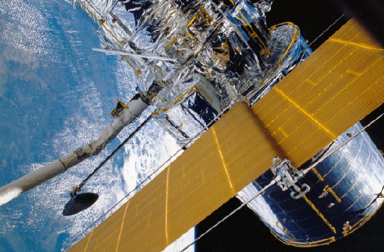
GIS and remote sensing solutions
This suite includes the acquisition of imagery involving the use of satellite, aerial, and UAV remote sensing data for geographic information systems (GIS). Available products include imagery from the European and Chinese earth observation satellites and on-demand sales of image processing and GIS solutions.


