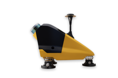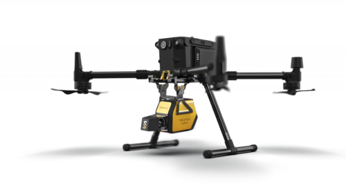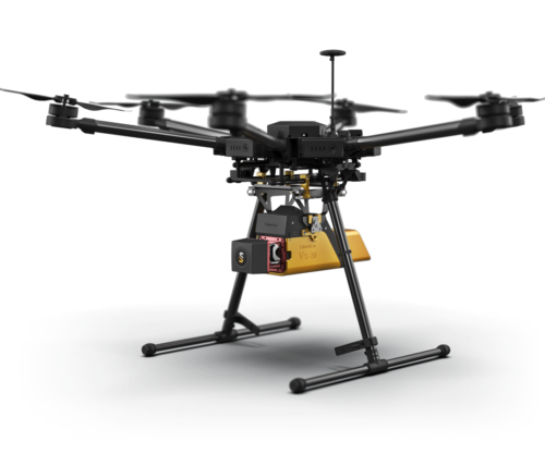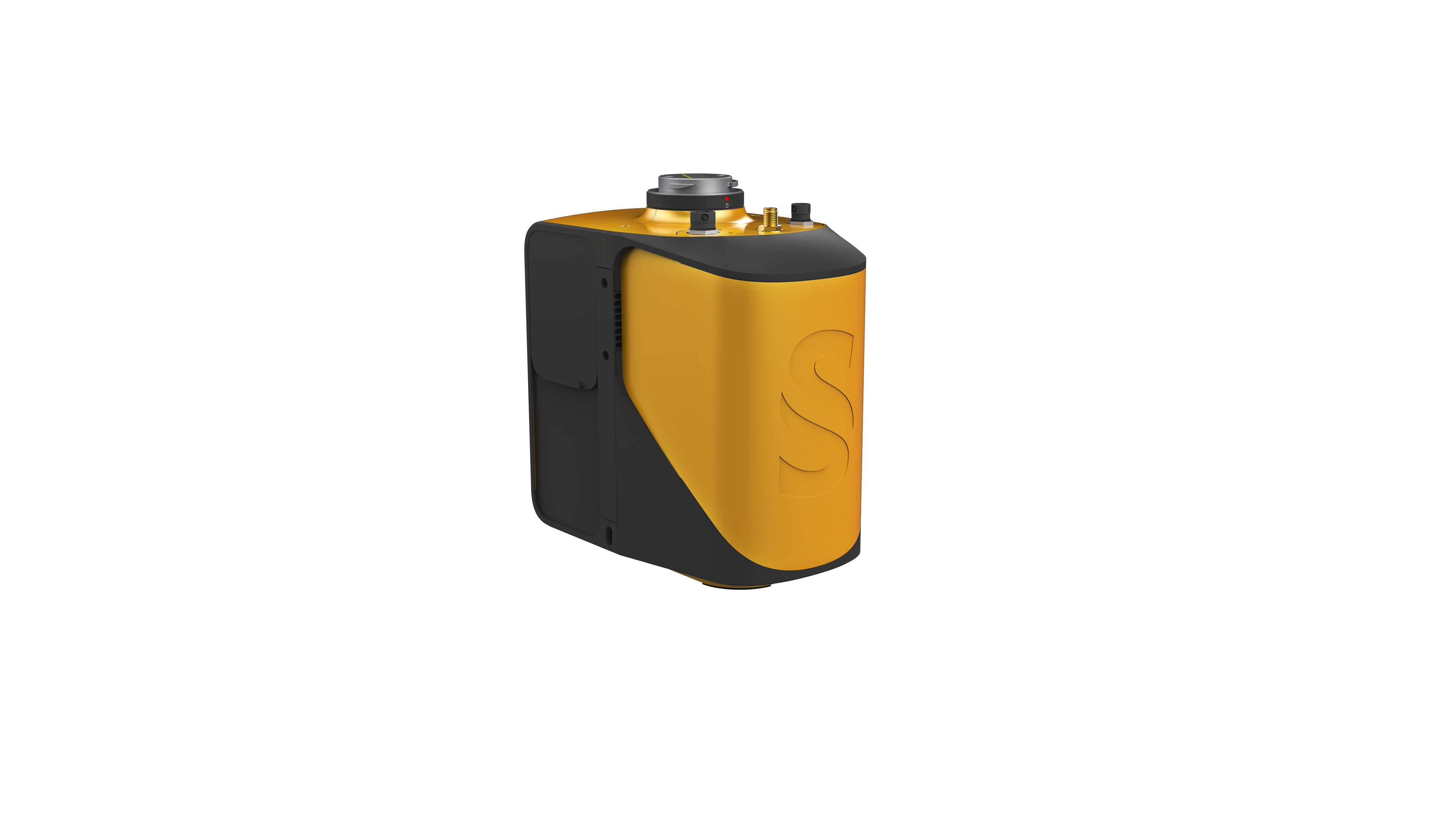
The new YellowScan Mapper is our Livox-based UAV LiDAR system.
The YellowScan Mapper UAV LiDAR system is equipped with a high-performance Livox Horizon laser scanner from Livox, a DJI-backed company. With a great point density, this LiDAR sensor allows our LiDAR system to fly easily at 70m AGL with a 120m swath.
We recommend a balanced 10 m/s flight speed to benefit from the Mapper’s point density while being productive. For example, flying at 70m AGL, 10 m/s, with 20% sidelap, you will be able to map 10 ha in 3 minutes.
The YellowScan Mapper is the right LiDAR tool to start with. Your data collection will be fast, accurate and cost-effective.