Descripción
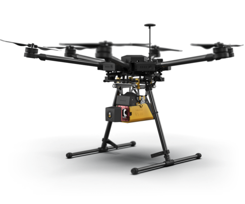
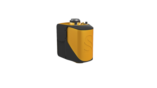
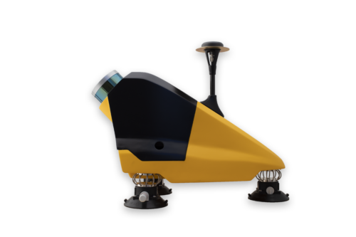
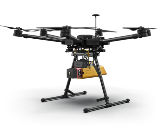
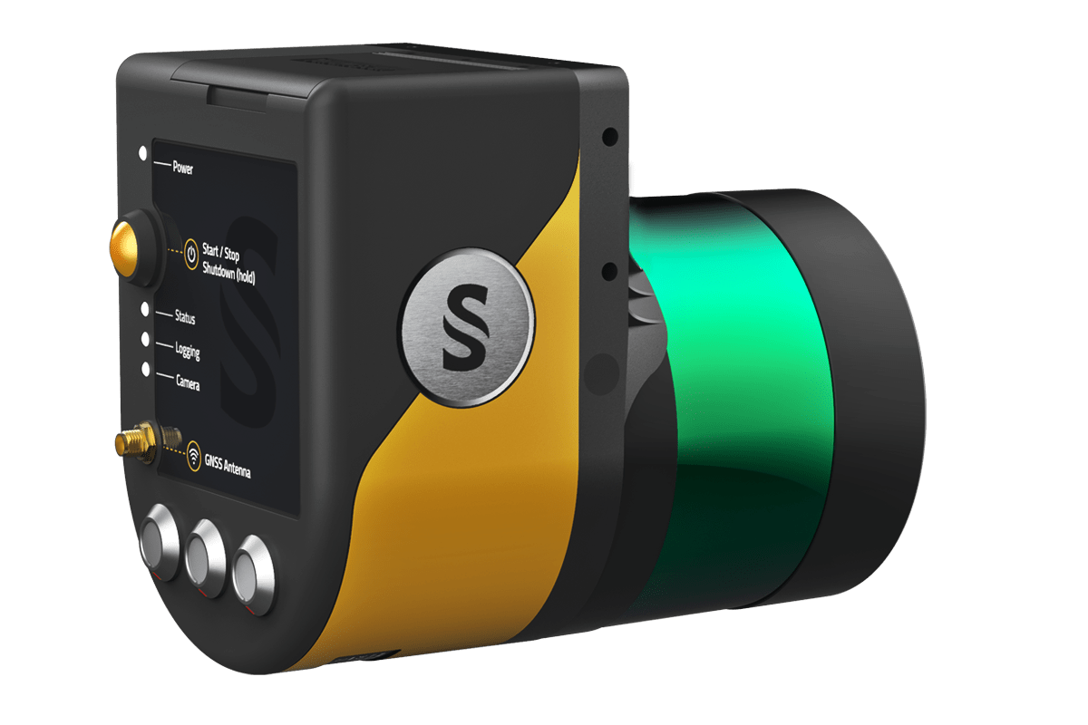
YellowScan Surveyor Ultra is a Hesai XT32M2X-based UAV LiDAR system.
The YellowScan Surveyor Ultra LiDAR system is suited for high speed UAV (VTOL fixed-wing or helicopter) and long-range needs due to its high-density specifications.
With the 360° Field of View of the Hesai XT32M2X laser scanner, the YellowScan Surveyor Ultra answers vertical mapping and mobile mapping needs when combined with Fly&Drive.
Its light weight makes it easy to mount on any UAV, including VTOL or helicopters. As with all YellowScan LiDAR systems, the Surveyor Ultra is designed for 3D modeling under vegetation, and fast data processing.